The Road to Maps on the Hill
and Utah’s Central Silver Island Mountains
March 26th, 2020, by Brooklyn Smout, a geology senior
 Something that I love about the Earth and Environmental Sciences Department, is their enthusiasm for getting students involved with undergraduate research opportunities. That was made abundantly clear to me last semester during the fall when my Field Methods (GEO 4600) classmates and I were presented with multiple different research opportunities to pursue. The majority of these research projects revolved around the mapping of the Central Silver Island Mountains in western Utah. Our main goals were to hand draft and digitize a map of the one square mile area, collect rock and sediment samples, and exercise our skills in the laboratory performing geochemical analyses on said samples.
The project that I initially latched onto was to determine the economic viability of the area, through SEM and geochemical analysis. I was then approached by two EES Professors to digitize a final map of the area for a presentation to be given at “Maps on the Hill.” The “final” map, at least for this presentation, was generated using ArcGIS Pro after comparing and analyzing three other digitized maps created of the area. This geologic map was so fun to generate and to see how much work goes into creating an accurate and dependable map of an area. Watching what started as a messy, topographic based, field map, turn to a georeferencable scanned jpeg and then be digitized, to create a beautiful, UGS Standard met, geologic map, was so satisfying and incredibly validating.
Being able to exercise the skills such as fieldwork, geospatial technology, and basic geologic principles, that I had developed through multiple geoscience courses proved to me that with hard work and dedication comes great reward. I am stoked that I was given this opportunity to present my work at the Capitol Building for UGIC’s ‘Maps on the Hill’ event and to showcase what an amazing department, here at Weber State University, had allowed (and encouraged!) me to create.
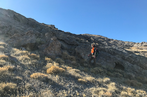 Alex Berniche using his height for scale as a fault is examined.
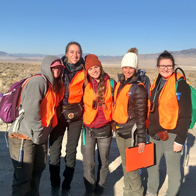 Courtney Witworth, Brooklyn Smout, Saige Carter, Kylie Arcaris, and Morgan Stewart prepared for a long day of mapping!
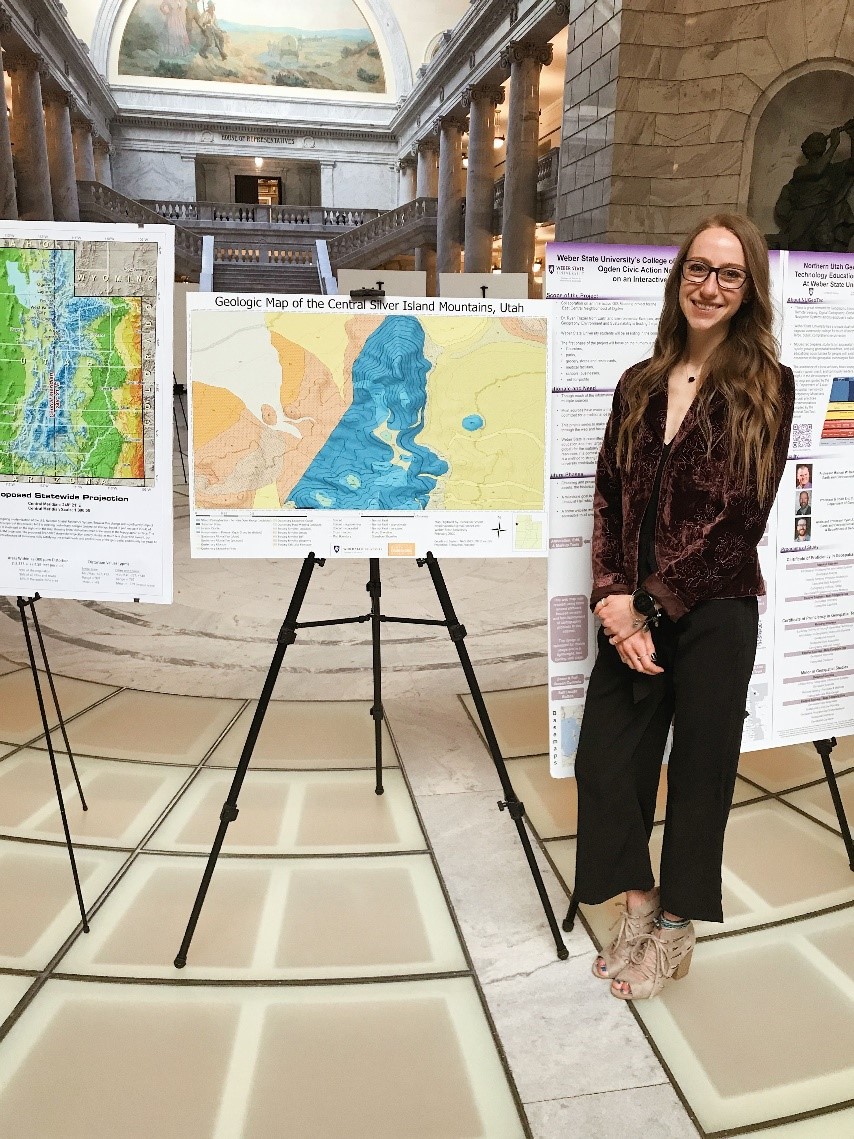
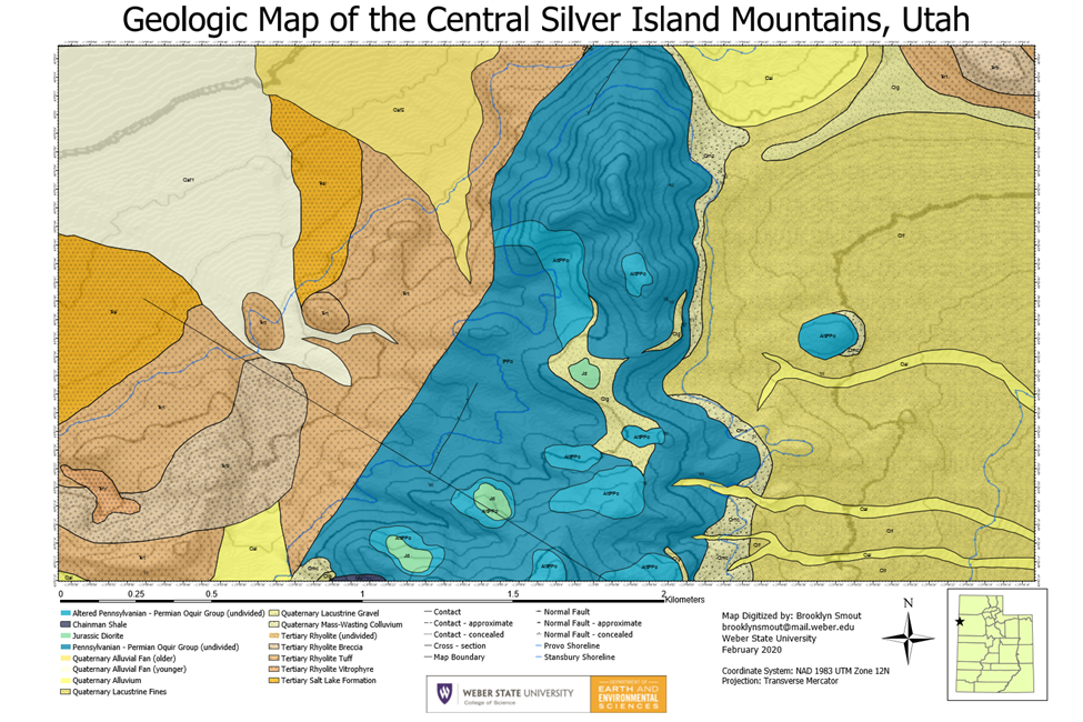 The final digitized product of the geologic map.

Office hours
Semesters
Monday - Thursday:
6:30 a.m. - 11 p.m.
Friday: 6:30 a.m. - 10 p.m.
Saturday: 6:30 a.m. - 6 p.m. Sunday: Closed
Holidays & Breaks Hours may vary
Mailing address
Weber State University
College of Science
1415 Edvalson St., Dept. 2501
Ogden, UT 84408-2501