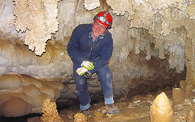
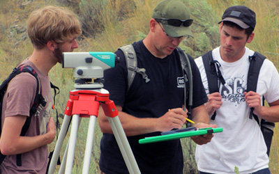
Think earth and environmental science is just rocks? Earth and environmental scientists are problem solvers, addressing issues related to energy & water resources, natural disasters, and environmental protection.

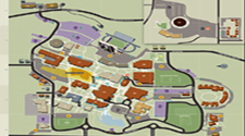
Department of Earth and Environmental Sciences
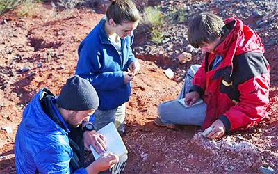
Why Study the Earth and Environment?
Rewarding Careers
According to the Bureau of Labor Statistics, earth and environmental sciences jobs are expected to increase during the next decade faster than most other industries...and many earth and environmental scientists wear jeans to the "office!"

Several Degree Options
Our degrees will not only teach you what you need to be successful in the earth and environmental sciences workforce and/or graduate school, they'll also help you identify the earth and environmental science specialties that best match your career goals.
"And then I took a geoscience class..."
Our faculty and staff are here for you! They have journeys that may even surprise you. Get to know us because we want to get to know you and help you succeed.
Earth is Calling. Will You Answer?
Are you fascinated by technology, travel, fossils, volcanoes, or making the world healthier and safer for everyone? If yes, let your fellow student colleagues help you get started!
Success Starts Here!
Already an Earth and Environmental Sciences major? Make use of these great tools and opportunities today. Let's GO!
Certified Sustainable Department


Mailing address
Weber State University
College of Science
1415 Edvalson St., Dept. 2507
Ogden, UT 84408-2507