Geospatial Technology includes:
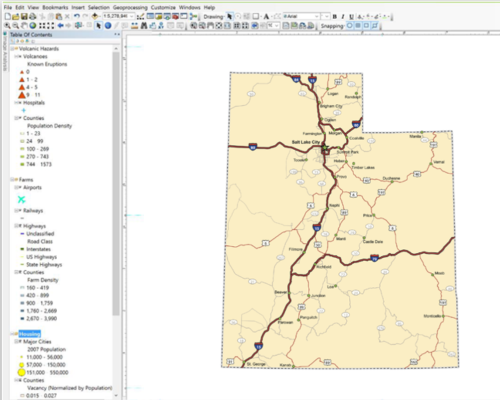
- Geographic Information Systems (GIS)
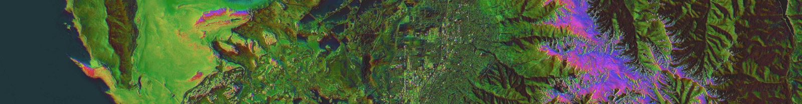
- Remote Sensing (airborne and satellite imagery)
- Computer Cartography (digital mapmaking)
- Global Positioning and Navigation Systems (e.g. GPS)
Geospatial Technology includes:

There is great demand for these skills among employers nationwide. WSU has a unique dual role mission as the regional community college for much of northern Utah and also as a large, public, comprehensive university.
NUGeoTec will prepare post-secondary students for successful employment in the rapidly growing geospatial workforce, and will also create advanced educational opportunities for people with existing training and experience in the geospatial technologies fields.
These goals will be achieved by developing a new Certificate and a related Associate Degree in Geospatial Technology (Community College Tier) and updating the existing Certificate and Minor in Geospatial Analysis at WSU (University).